

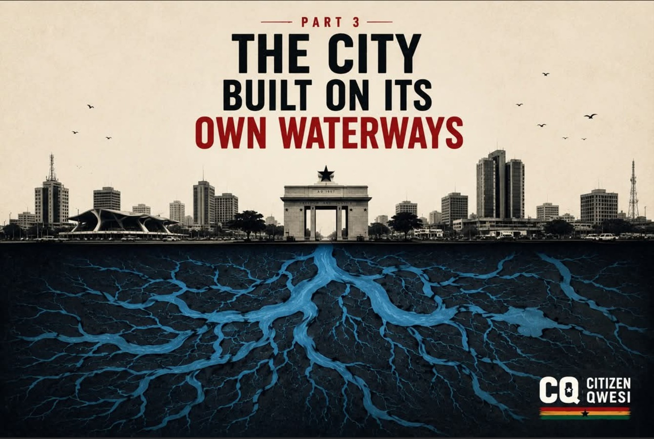
Accra’s flooding is tied to a clear land-use problem: spaces that should carry, store or slow floodwater have been occupied, filled, narrowed or converted for development. The evidence appears across the Odaw Basin, Korle Lagoon area, Densu Delta, Glefe Lagoon, Kpeshie Lagoon, Sakumo/Sakumono Ramsar Site and other drainage corridors in Greater Accra. The pattern is consistent.
Waterways have been narrowed. Wetlands have been filled. Buffers have been built on. Floodplains have become settlements. Lagoon edges have been reclaimed. Drains and streams have been used as waste channels. Some of this happened informally. Some entered the formal planning process through applications, notices, permits, attempted regularisation or change-of-use requests.
One example is a public notice published in the Ghanaian Times on Friday, August 7, 2020. The notice related to land at Tse Addo, East La, in the La-Dade Kotopon Municipality. The site was described as approximately 3.22 acres, situated behind the Ghana International Trade Fair, along the La-Tebu bypass and close to the Kpeshie Lagoon. The application sought a change of use from Mangrove / Protected Coastal / Water Front Zone to Mixed Use. The stated purpose was the construction of an 18-unit residential estate and a recreational centre. That notice is important because it shows how protected coastal or water-related land can enter the development pipeline. Encroachment is not always a hidden act. Sometimes the proposed conversion is advertised publicly as a planning matter.
The Kpeshie example also matters because Kpeshie is part of Accra’s wider coastal drainage system. Like Odaw, Korle, Sakumo and Densu, it performs more than an ecological function. It is part of the city’s flood-storage and outfall environment. The Sakumo/Sakumono Ramsar area shows a more advanced version of the same problem. In April 2025, TDC Ghana Limited demolished unauthorised fence walls stretching from Klagon towards Tema into the Sakumo Ramsar area. TDC stated that a drone view showed the Ramsar site had been heavily encroached upon from the Tema and Klagon sides. The company also said the structures under construction had not received permits from TDC or the relevant assemblies. TDC linked the encroachment directly to flooding. Its position was that narrowing the Ramsar site would reduce the space available for floodwater to flow toward the sea.
One reported detail from the Sakumo case is especially significant. Developers had reportedly formed an association called the “Ramsar Site to be Regularised Association.” The name itself suggests the typical sequence in some encroachment cases: occupation first, organisation later, then pressure for regularisation. The land-use data on Sakumo/Sakumono supports the concern. A 2025 study of the Sakumono Ramsar Site found that built-up area increased from 1.06% in 2000 to 45.26% in 2023. The same study found that floodplain area reduced from 82.22% in 2000 to 21.72% in 2023. Water area also declined. That means the site did not merely experience minor pressure. It underwent a major land-cover shift from floodplain-dominated wetland space to heavily built-up land.
Earlier UAV-based research on the Sakumo Ramsar Site also found encroachment into parts of the 100-metre buffer and estimated that about 38.3% of the wetland had been lost to encroachment. The Densu Delta Ramsar Site shows a similar direction of travel. Research on urban growth around the Densu Delta identified three main development patterns: outward spreading growth, growth around village nodes, and ribbon development along roads. The main driver was demand for residential land. The enabling condition was weak enforcement of land-use control and wetland protection.
One concrete example is Glefe. Research records that parts of the Glefe Lagoon area were reclaimed for residential development through filling with solid waste and laterite. This is a direct example of how wetland or lagoon space can be physically converted into buildable land. Another study on the Densu Delta reported that over a twenty-year period, built-up area increased by 10.3%, while wetland area declined by 2.6%. The same study projected further built-up expansion by 2030 if the trend continued. The Odaw Basin provides the central urban version of this problem. The Odaw River and its tributaries — including Nima, Onyasia, Dakobi and Ado — drain major urbanised areas of Accra. The basin is therefore not just a river corridor. It is a heavily built-up urban catchment.
Land-use research on the Odaw River Basin found that settlement expanded by about 238.2% between 1991 and 2016. This is significant because urban settlement changes the behaviour of rainwater. More roofs, roads, paved yards and compacted surfaces mean less infiltration and more surface runoff. When runoff increases, drainage channels receive more water in a shorter time. If those channels are already narrowed, silted, choked with waste, poorly maintained or encroached upon, flooding becomes more likely.
GARID documents also identify physical development control as a weakness in the Odaw Basin. The project record links flooding to urban land encroachment, high urbanisation, inadequate sanitation, inadequate drainage, choked drains and occupation of flood-prone areas. Old Fadama and the Korle Lagoon area show the difficulty of correcting the problem after occupation has become established. Restoration of the Korle Lagoon and improvement of the Odaw-Korle outfall are not only engineering tasks. They are also resettlement, livelihood, land-use and political questions because people and economic activities now occupy parts of the flood-management environment.
This is one reason late enforcement is difficult. Once a flood corridor becomes a settlement or investment area, the state is no longer dealing only with land. It is dealing with homes, tenants, livelihoods, claims, associations, documents, political pressure and sometimes litigation. Encroachment therefore has different forms.
There is survival encroachment, where poorer households occupy risky land because safe, serviced and affordable alternatives are unavailable.
There is commercial encroachment, where businesses, developers or institutions occupy or convert land with economic value.
There is procedural encroachment, where protected or sensitive land enters the planning process through change-of-use applications, attempted regularisation, permits or public notices.
There is waste-led encroachment, where dumping, filling and compaction gradually convert wetland or lagoon edges into usable land.
There is buffer encroachment, where land meant to separate development from drains, streams, lagoons or wetlands is occupied.
These forms are not morally equal. A poor family in a floodplain is not the same as a developer pushing walls into a Ramsar site. But both can produce flood risk if the land is part of the city’s drainage or storage system.
The common issue is that Accra has allowed water space to become ordinary land.
That is the central fact.
Wetlands store water. Floodplains absorb overflow. Buffers create distance from danger. Lagoons receive and release water. Tributaries carry runoff into larger channels. Drainage corridors keep water moving through the city.
When those spaces are occupied or converted, the city loses capacity. The water they once held, slowed or carried must go somewhere else. That “somewhere else” is often a road, market, school, home, shop, transport corridor or low-lying community.
This is why encroachment is not only an environmental issue. It is a flood-control issue. It is also a land-administration issue, a housing issue, a sanitation issue and an enforcement issue.
The evidence from Odaw, Korle, Densu, Glefe, Kpeshie and Sakumo/Sakumono points to one conclusion: Accra’s flood risk has increased because the city has repeatedly converted or compromised the spaces needed for stormwater movement and storage.
Part 4 must therefore examine the legal question.
Ghana has planning laws, building regulations, zoning standards, Ramsar protections, enforcement notices and demolition powers. If those tools exist, the next issue is why encroachment continues, why action often comes late, and why the same problem keeps returning after every flood.
For now, the Part 3 finding is direct:
Accra’s flooding is not only caused by rain. It is also caused by the conversion of waterways, wetlands, buffers and floodplains into occupied or developable land.
#CQ | #CivicConscience | #SharpInk | #TheCivicQuill | #GhanaFirst
#AccraFloods | #PlanTheCity